


Overview and history
Volcanoes, seafaring peoples, colonial battles, shipwrights and a few extraordinary stories: the Grenadines have far more to tell than their white sand beaches.
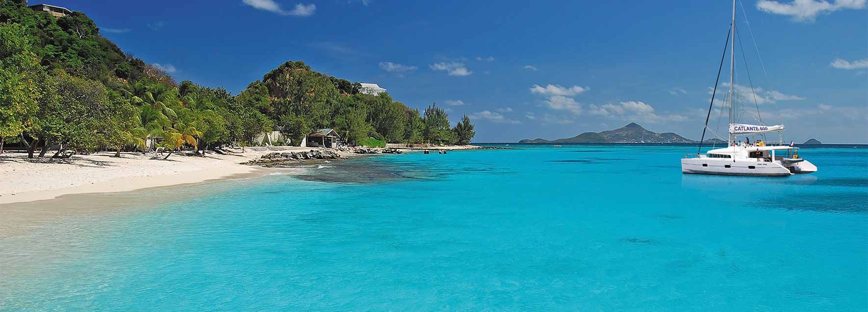
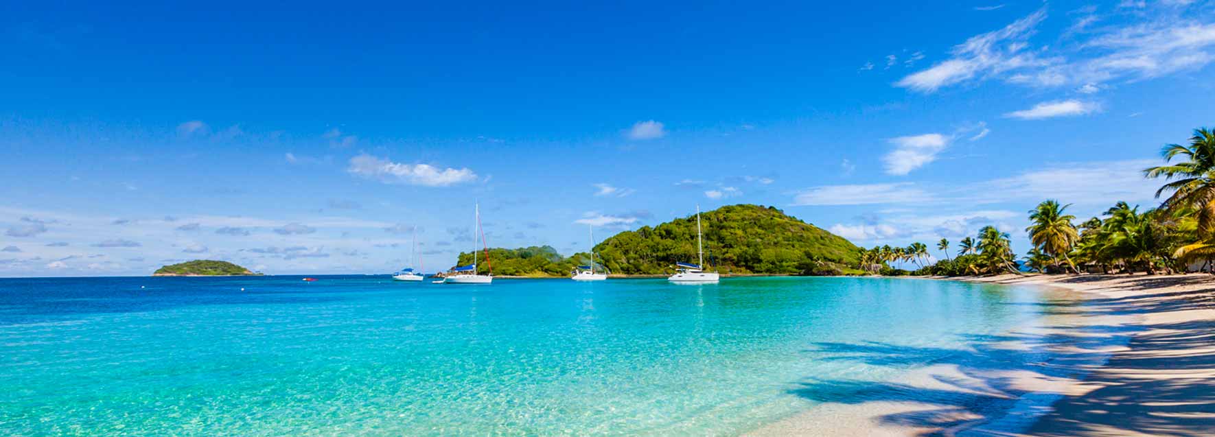
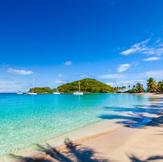
Between Saint Vincent and Grenada, in the southern Lesser Antilles, some thirty islands and islets are strung out over about a hundred kilometres. Some are mountainous, others barely higher than the sea. A few have been home to villages for centuries, while others have remained uninhabited.
Behind this picture-postcard geography lies an eventful history. The Grenadines have seen Amerindian peoples, European navigators, enslaved African populations, freedom fighters and generations of seafarers who made the sea their territory. To understand this archipelago, you have to go back long before the first pleasure yachts. A few million years, to begin with.
How were the Grenadine islands formed?
An archipelago born of volcanic activity
The Grenadines belong to the Lesser Antilles arc, a chain of islands born where large tectonic plates meet. The Atlantic oceanic lithosphere sinks beneath the Caribbean plate: this is subduction. Deep down, rocks partially melt, magma forms and, over millions of years, volcanic edifices rise out of the ocean.
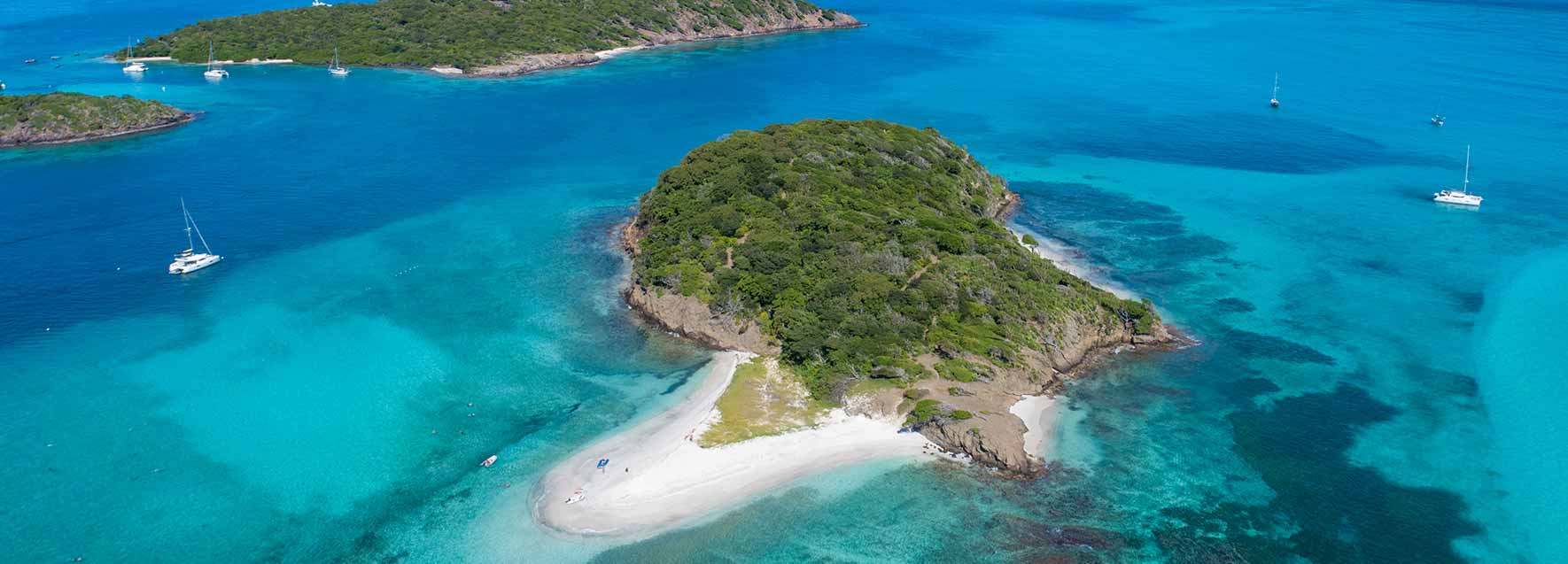
The Grenadines are, to a large extent, the remains of ancient volcanic activity. Erosion and marine deposits have reshaped their relief. Some islands have kept pronounced rocky hills, while others have low coasts, beaches and coral formations. That is why, within a few miles, you go from a steep island to a tiny sand-fringed islet.
DID YOU KNOW? La Soufrière, in the north of Saint Vincent, is still active. Its last major explosive eruptive phase dates back to April 2021. The Grenadines have no comparable active volcano, but they share the same geological history.
And the story continues under the sea. North of Grenada, the submarine volcano Kick-’em-Jenny is a reminder that the Antilles arc remains geologically active. Its name may raise a smile; its monitoring, however, is entirely serious.
The geography of the Grenadines is therefore no mere aesthetic accident. It is the result of millions of years of movements of the Earth, to which corals, currents and erosion have added their own finishing touches.
Who lived in the Grenadines before the Europeans arrived?
The first navigators of the Caribbean
The history of the Antilles is often told from the arrival of the Europeans. That overlooks one detail: the islands had already been inhabited, explored and linked to one another for a very long time.
The first Amerindian populations reached the Antilles in successive migrations, notably from northern South America. They travelled by dugout canoe, fished, farmed the land and traded between the islands. These voyages required a remarkable knowledge of currents, winds and sea passages. Without GPS, without modern charts and without a ten-day weather forecast.
The Kalinago, a seafaring people
The Kalinago, long referred to by Europeans as the “Caribs”, are among the peoples who shaped the history of the region. They had a highly developed maritime culture and put up lasting resistance to colonisation, particularly on Saint Vincent.
Pre-colonial history remains complex: peoples succeeded one another, met and mixed. It would be misleading to reduce several centuries of migration to the existence of a single people.
DID YOU KNOW? For Amerindian navigators, the sea was not a border separating the islands: it was a network of routes. A useful change of perspective when looking at a map of the Caribbean.
The islands the Europeans thought they were discovering therefore already belonged to an organised maritime world, with its trade, its knowledge and its territories. Their inhabitants had not waited for the caravels to learn how to sail.
How did colonial history shape the Grenadines?
French and British in the conquest of the islands
From the 17th century onwards, the European powers sought to control the Antilles. The French and the British fought in particular over Saint Vincent, for its farmland and its strategic position. Colonisation brought with it the development of plantations, slavery and profound demographic change.
The Garifuna, a people born of two worlds
Saint Vincent nevertheless stands out: it became home to an Afro-Amerindian population that long resisted European domination. The communities from which the Garifuna people descend formed through encounters between indigenous populations and people of African descent, notably Africans who had escaped slavery.
At the end of the 18th century, this resistance took on a major military dimension. Among its leaders was Joseph Chatoyer, today a national hero of Saint Vincent and the Grenadines. In 1795, a new war broke out against the British. Chatoyer was killed that same year; the resistance was finally defeated in 1796.
The repression was terrible. Several thousand Garifuna were forcibly gathered on the small island of Baliceaux, in the Grenadines. Disease and the conditions of detention caused a considerable death toll. In 1797, the survivors were deported to Roatán, off the coast of present-day Honduras.
DID YOU KNOW? The history of the Garifuna continues today on the coasts of Honduras, Belize, Guatemala and Nicaragua. Their language, dances and music have been recognised by UNESCO as intangible cultural heritage. A story born in the Antilles that crossed the Caribbean Sea.
Saint Vincent and the Grenadines became independent from the United Kingdom on 27 October 1979. The State remains a member of the Commonwealth. English is its official language, but the archipelago’s cultural heritage is far more diverse.
Why does the sea hold such an important place in the Grenadines?
In the Grenadines, the sea was long the main means of communication. Before modern air links, boats carried goods, harvests, building materials and the islanders themselves. This necessity fostered remarkable maritime skills.
Bequia and its tradition of shipwrights
Bequia built a reputation in shipbuilding. Its shipwrights built schooners and craft suited to inter-island trade. Some boats were built directly on the beach before being launched. A shipyard with a sea view, but no doubt a rather sporty move on launch day!
The tradition has left another speciality: wooden model sailing boats. Some are genuine works of craftsmanship, made with a care that recalls the care given to the full-size boats.
A surprising history of whaling
In the 19th century, whaling developed on Bequia, influenced by sailors trained in North American whaling techniques. Boats, harpoons and know-how were passed down within certain families.
More surprising still, a traditional humpback whale hunt survives under a special exemption and quotas set within the framework of the International Whaling Commission. This practice gives rise to legitimate debate about the protection of cetaceans. It nonetheless remains a singular fact of the island’s maritime history, to be explained without romanticising it.
DID YOU KNOW? On Bequia, model sailing boats are not mere tourist souvenirs: they carry on a genuine local tradition of boatbuilding.
What wildlife can you find in the Grenadines?
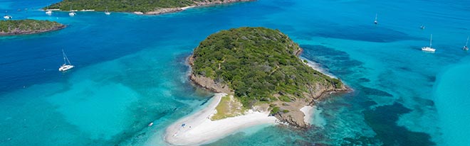
A lot is said about the colours of the sea in the Grenadines. But these shades of blue and green also tell the story of geology and marine life. Light sandy bottoms reflect the light, while seagrass beds appear darker. Reefs draw lines and patches that reveal the shallows.
How do coral reefs form?
A coral reef is made up of colonies of tiny animals, polyps, which produce a limestone skeleton. Over generations, these structures build up and can form natural barriers. They provide shelter, nurseries and feeding grounds for many species and help to reduce the energy of the waves.
Horseshoe Reef, in the Tobago Cays Marine Park, forms a barrier reef around part of the lagoon. Its existence explains both the site’s ecological richness and its very particular geography.
Why do sea turtles visit seagrass beds?
Because they find food there! Adult green turtles feed mainly on seagrass and algae. Seagrass beds are also a habitat for fish and invertebrates, stabilise sediments and help to store carbon.
DID YOU KNOW? These underwater meadows provide services comparable to those of land ecosystems. With one notable difference: you are more likely to come across turtles than cows.
Caribbean reefs are now suffering from the effects of warming waters, coral bleaching, disease and various human pressures. Their preservation matters for biodiversity, but also for fishing and coastal protection. Understanding what happens beneath the surface lets you see the sea differently.
The Grenadines, much more than a holiday archipelago
The history of the Grenadines is that of a territory built by the Earth, travelled by seafaring peoples, fought over by colonial powers and shaped by generations of sailors.
It is also that of a culture that crossed the Caribbean Sea, of craftsmen able to build schooners on a beach, and of ecosystems whose richness goes far beyond what can be seen from the surface.
So many things you would not necessarily guess from a photograph of the Grenadines. And which give these islands a whole new dimension once you know a little of their history.
How to get there
Reach Martinique easily
By plane
- From Paris by direct flight: Air France / Air Caraïbes / Corsair (approx. 9h flight)
- From other major French cities: Air Caraïbes (offers train+plane packages with transfers between the TGV station and the airport), Air France with a stopover in Paris, Corsair (offers train+plane packages with transfers between the TGV station and the airport).
- From Belgium: Air Caraïbes from Brussels with a stopover in Paris
- From Switzerland: Air France from Geneva with a stopover in Paris
- From Luxembourg: Air France from Luxembourg with a stopover in Paris
Things to know before you go
CATLANTE cruises depart from the port of Le Marin in Martinique on Thursdays, Fridays and Saturdays from late October to late April.
For EU nationals: passport valid for at least six months after the end of the cruise, for each participant. Authorization to leave the country for minors traveling without at least one parent or legal guardian.
Boarding at Le Marin marina, pontoon 5, at 6pm. Disembarkation takes place on the morning of day 8 (D+7) at 9am.
Transfers: ANTILLES TOURS - Patrick PENELOPE Tel +596 6 96 28 80 22 antilles-tours@wanadoo.fr You must confirm your one-way reservation by e-mail to Antilles Tours, mentioning the number of passengers, date and flight number. Payment upon reservation or to the driver. Individual or group transfer from the Airport to the Port of Le Marin or return: €15 per trip and per passenger (based on a minimum of 2). Outward journey: Welcome near gate E to the right of passenger arrival after Customs with a CATLANTE sign and your name. Return trip: Departure 9:30 am from Le Marin to Les Trois Ilets with luggage pick-up. Lunch at leisure (not included). Afternoon departure for the airport (schedule depends on 1st flight). If some passengers have a later flight and wish to postpone their transfer, €30 supplement. Hotel transfer depending on distance, supplement €15 to €30 one-way per person. Return booking and payment on site,
It's not advisable to take a large rigid suitcase, which won't be easy to stow in the cabin. Instead, use cabin-size luggage or travel bags/soft suitcases. At Le Marin marina: Croisière Sans Bagages next to the SNSM rescue station - Mail : contact@bagdropcruise.com - Tel / WhatsApp : +596 696 097 972 - Mon - Sun : 8h30 - 18h, open on public holidays Go to the address below: hand in your clean luggage, which must not exceed 23 kg. You will be asked for your identity papers at drop-off and pick-up, and for confirmation of your cruise. Drop-off all day until 6pm = 8 euros per bag / Drop-off from 1pm until 6pm = 5 euros per bag
Lobster barbecue in Mayreau or the Tobago Cays: €50 per person - Excursion to St Vincent: €30 per person (history of the island, place names and guided walk through the jungle to the waterfalls). In Bequia, island tour by taxi: €30 per person. In Saint Lucia: volcanic mud baths and discovery of the island: €40 per person.
In Saint Vincent and the Grenadines, the local currency is the East Caribbean Dollar (EC$). You can withdraw it at Admiralty Bay in Bequia. You can also pay for all your local expenses in euros or US dollars, both of which are accepted everywhere (€1 = US$1). The Grenadines have a tropical climate, with the dry season running from November to April. The official language is English, but Vincentian Creole is spoken by everyone in the state of St Vincent and the Grenadines.

Enjoy your trip with CATLANTE Catamarans
Join as a cabin guest or charter your own catamaran with a professional crew.
An all-inclusive experience designed purely for the pleasure of sailing and discovering in a small group.
The French leader
for 20 years
The tranquility
of the all-inclusive
A local and quality
cooking
French flag,
French-speaking crews
Eco-responsible
holidays